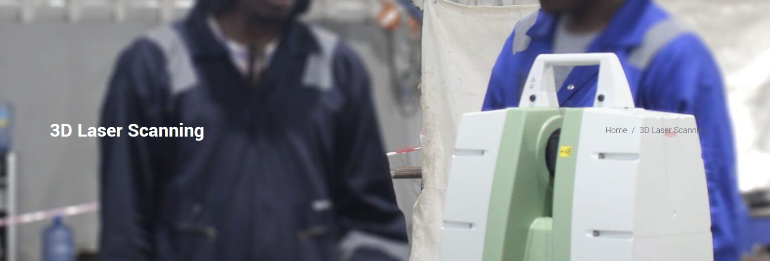
 3D Laser Scanning
3D Engineering Services
Advanced capture, visualisation and planning for complex assets.
3D Laser Scanning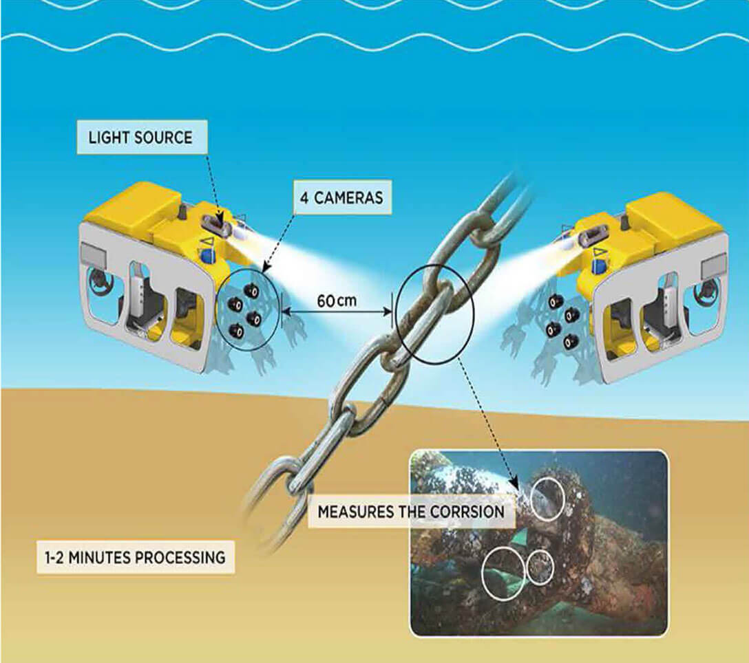 3D Photo Cloud
3D Laser Scanning
Robust Capabilities in 3D Laser Scanning
With our experienced team of Laser Scanning experts and front-line technology, we provide a detailed oriented 3D Laser scan and point cloud of fixed and floating oil and gas installations. We are capable of digitalizing offshore and onshore facilities using industry best practices and facilities.
Facilities and Infrastructure
With Laser Technology, we are able to provide a Digitized facility which can be easily viewed remotely, dimensions and other facility details can be extracted to provide detailed information for planning purposes. We are able to generate detailed isometrics of structures, piping, mechanical, instrument, control, equipment and general arrangement drawings (GAs) as required to meet our client's needs.
Provision of High-quality Laser Datasets
We provide laser scan data formats that provides complete, remote and virtual facilities in high definition, access to photo-realistic as-built information of digitized facilities to provide options for viewing measurements, and high definition mark-ups. Dataset outputs are compatible with most 3D modelling packages such as; AVEVA PDMS/E3D, AUTOPLANT, SOLIDWORKS, AutoCAD etc.
3D Modelling
From our laser data, we are able to provide intelligent 3D Models of entire facilities which can be used to aid revamp work, provide a virtual walk-through of facilities (both online and remotely), aid construction planning and execution etc.
3D Photo Cloud
3D Photo Realistic
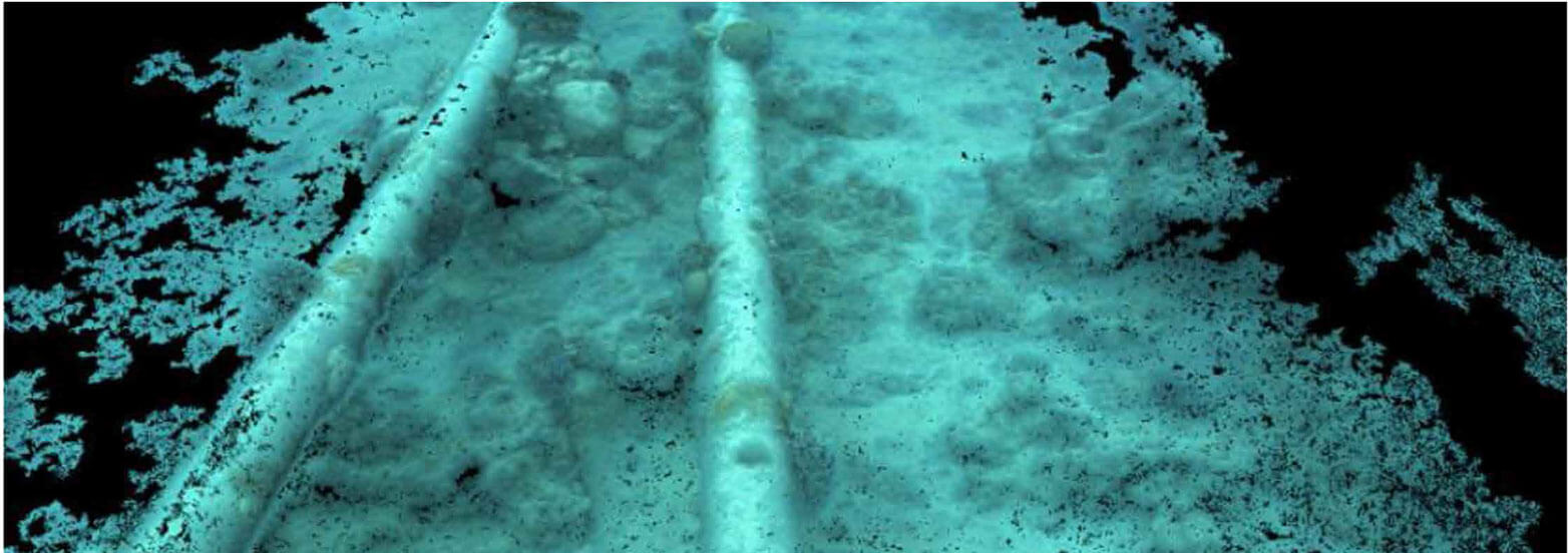
Oil & Gas operators are rapidly adopting 3D cloud technology to support subsea installation, survey and inspection operations. Accurate 3D models of existing and new subsea assets can support a variety of life of field and asset integrity applications and reduce costs in all areas of subsea asset life cycle.
MCS has taken 3D cloud of point technology to a new level with the introduction of the 30 Photo Realistic Cloud {3D PRC), a cutting edge innovative software and subsea camera technology to scan complete structures and pipeline sections underwater to create a 3D Cloud of billions of points.
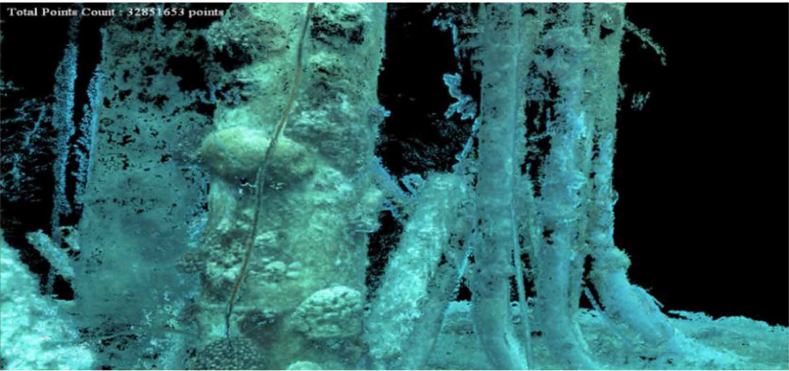
Using breakthrough advanced optical sensors and mathematical disciplines MCS provide accurate, to 1/1000 as-built 3D Cloud of points any scanned object. Unlike Laser solutions the 3D PRC operates from a moving platform allowing component to be viewed and then visualised from all angles, covering large areas. Also it's perfectly safe to operate.